by Rick Winterson
No one has to be told that South Boston is an unusual place. It was annexed to the City of Boston 215 years ago in 1804, and certain areas in Southie still retains their original names, evoking a “once-upon-a-time” connection with Dorchester. These names include Washington Village, whose brother neighborhood was Adams Village near Quincy, and of course, Dorchester Heights, the site that anchored the first Evacuation Day on March 17, 1776.
After 215 years, South Boston’s historic beginnings, middles, and current-day endings have seen enormous, earthquake-like developments, accompanied by equally enormous, earthquake-like arguments between its residents and its developers. Zoning and its controlling regulations were supposed to provide the answers (or were they?).
At approximately 40,000 residents, South Boston has 5 or 6% of the City of Boston’s total population. It is still growing rapidly, a fact that will soon be confirmed in the upcoming 2020 Census. And it possesses around 10% of the City’s total area. That seems generous until one considers the following facts: South Boston is home to most of Moakley Field, a huge, city-wide, public playground/stadium complex. Over 80% of our borders are salt water, most of which is beaches, landmarks, ocean enterprises, and harbor facilities owned by Massport. And the last two censuses revealed that South Boston was the site of around one-quarter (25%) of Boston’s subsidized living units . Add in two final facts that three out of four of us have lived here less than five years, and that the Seaport District has massively “boomed” in less than ten years. You’ll then get the basic zoning “climate” in South Boston, as of this particular moment in time.
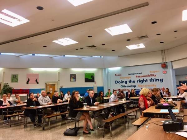
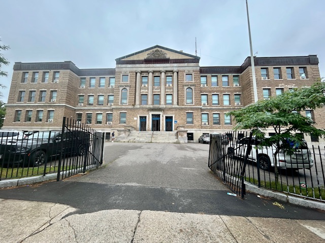
At a Zoning Initiative meeting in the Condon Community Center last Thursday, the 5th, Mark McGonagle of the BPDA (Boston Planning & Development Authority) was aided by William “Buddy” Christopher from Mayor Walsh’s office. McGonagle first presented the basics of the Zoning Initiative, which began its outreach five years ago and was enacted into zoning regulations late in 2016. In the proverbial nutshell, the zoning initiative reduced allowable building heights from 50 feet to 40, increased FAR (floor area ratios) from 1.0 to 2.0, and boosted parking from 0.9 up to 1.5 per unit (studios and single bedroom units were set at 1.0 space).
The acronym/abbreviation “IPOD” stands for Interim Planning Overlay District. The current South Boston IPOD was enacted in mid-2017; it allows for testing out newer zoning rules, concepts, and processes, so that zoning can be “tested in the field”, so to speak. The 2017 IPOD specifically required what are called “conditional use permits” for projects of more than four units and/or major rehabilitations over 1,000 square feet.
This has resulted in current zoning proposals as follows: 1.- A minimum lot size of 2,000 square feet for multi-family residences (MFR), plus 1,000 square feet for each additional unit. 2.- The current building height on the parcel now becomes, de facto, the zoning height. 3.- As for density/open space, building extensions into rear yards are conditional. Zoning requirements become stricter for buildings designated as MFR-LS (LS for “local services”), like many of the mixed-use structures along Broadway.
At the end of the question-and-answer period (which was extensive) McGonagle and Christopher both emphasized that all the zoning processes are aimed at being as “fair” as possible, and being uniform for all permit applicants. They also stressed using the ZBA (Zoning Board of Appeals) when disagreements arise. In any case, you owe it to yourself to take a complete and detailed look at what you plan, well before you seek a building permit.
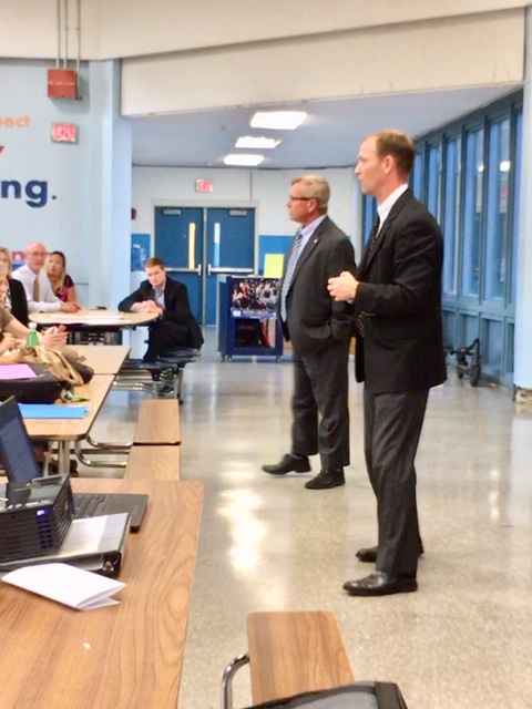
Mark McGonagle (to r.) explains the IPOD and rezoning, as William “Buddy” Christopher from the Mayor’s office looks on.


