by Rick Winterson
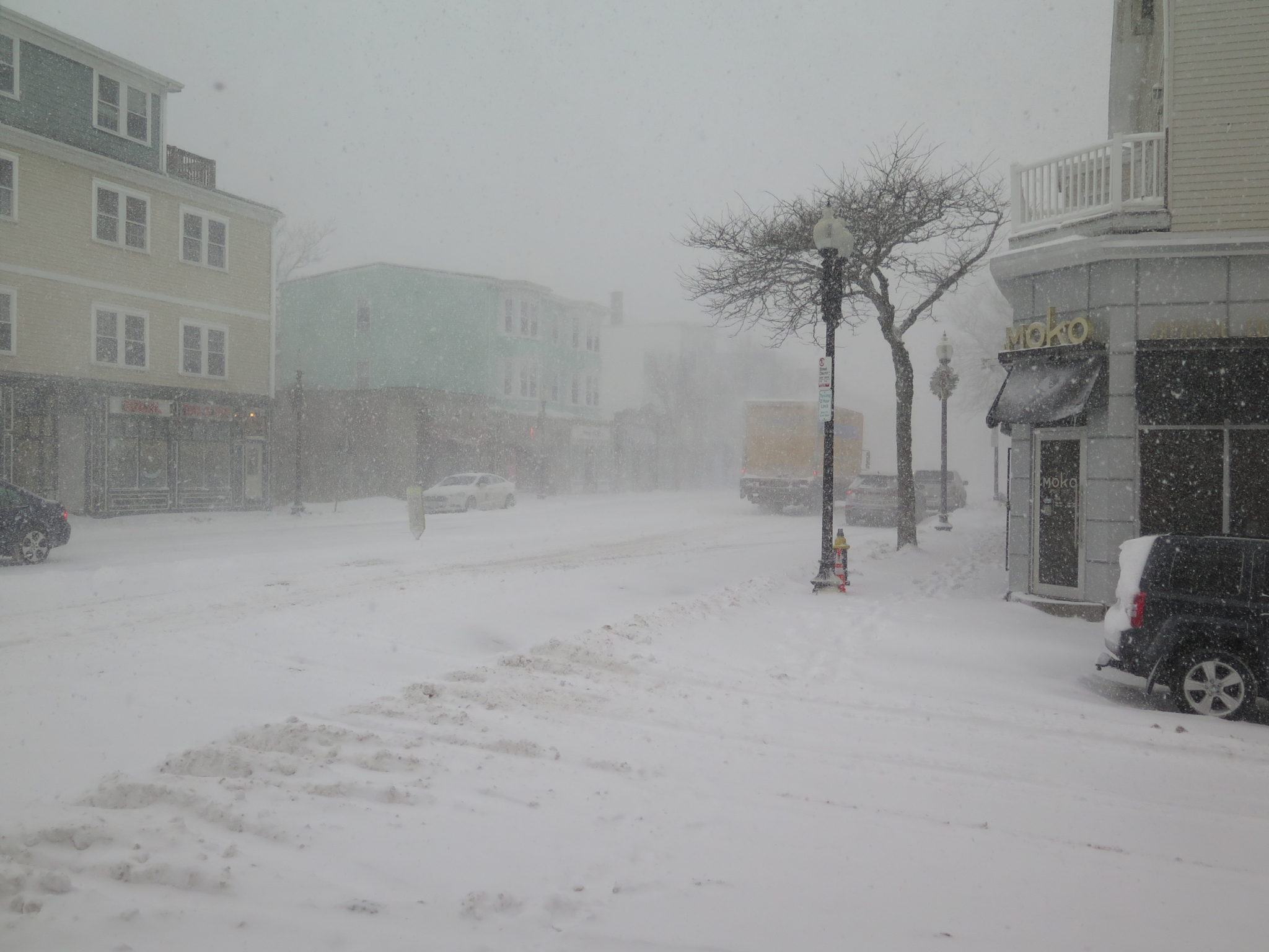
The recent snowstorm was quite a storm – no doubt about that. It combined three serious and forceful conditions at more or less exactly the same time.
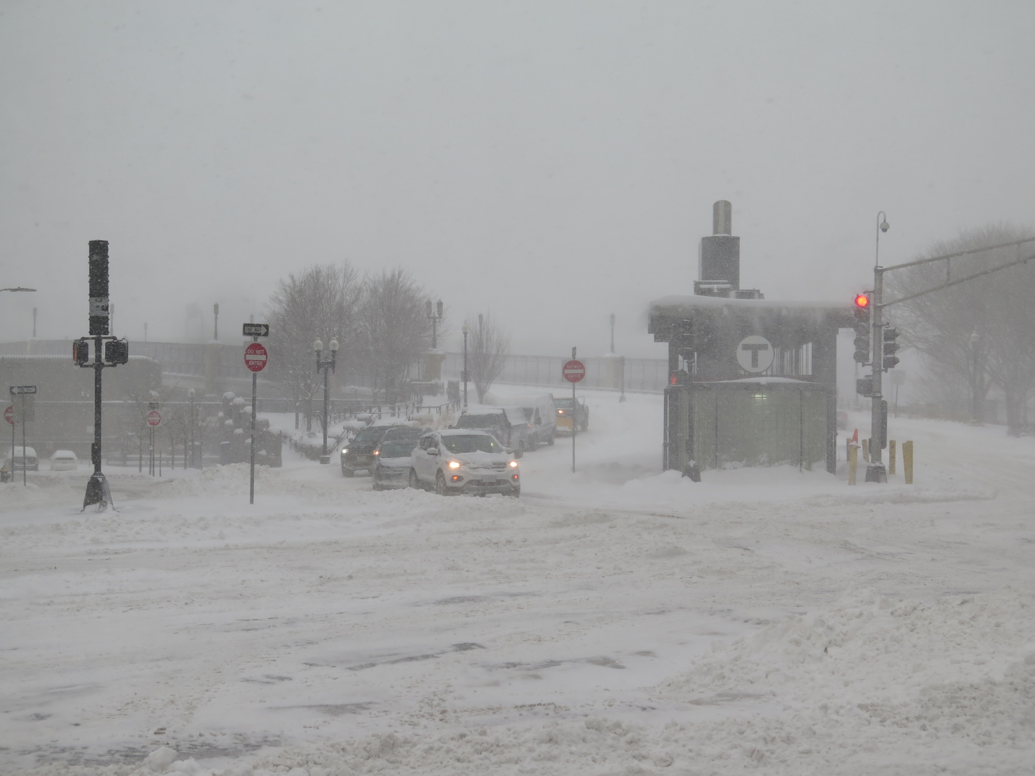
The intensity of the snowfall was remarkable – up to three inches of fall per hour on Thursday afternoon, which created essentially white-out conditions. This continued into Friday morning before sunrise.
In addition, temperatures took a dive, beginning (oddly enough) as the storm was ending and culminating on Sunday morning with a record of -5 degrees (F) below zero, even though the sun had just risen. Because of the stiff north wind, wind-chill factors dove to -15 degrees (F) below zero – a treacherous level.
Furthermore, the high tides, about an hour after midnight on Thursday evening and driven by the northeasterly winds, caused Seaport Boulevard flooding and closure of the Blue Line’s Aquarium Station. Water main bursts over the weekend only worsened the situation, although the big one on Congress Street was not caused by the weather.
Despite the severity of the weather overall, it would be useful to look at all of the parts of last weekend’s weather pattern by themselves – to “pick them apart”, in other words.
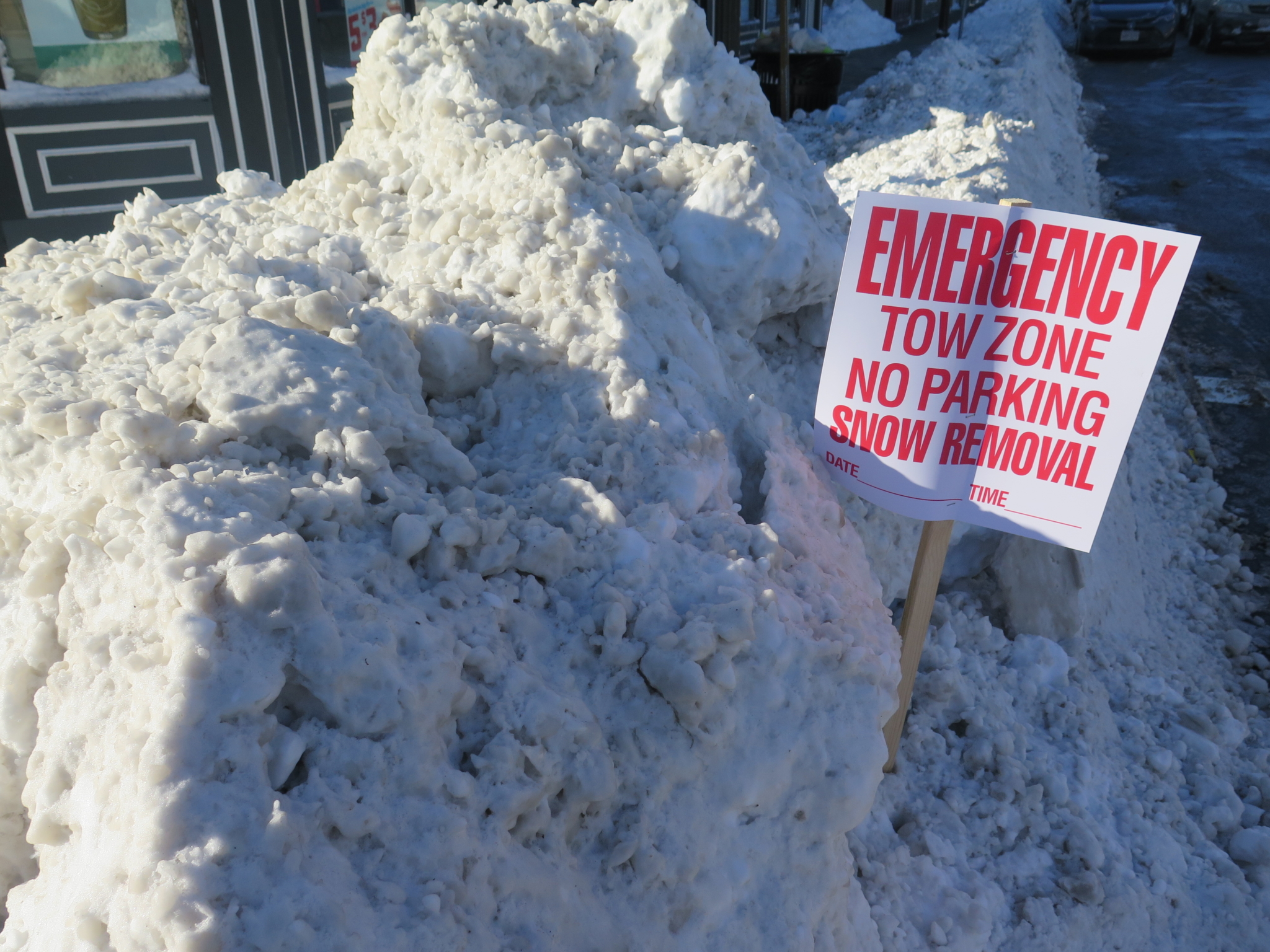
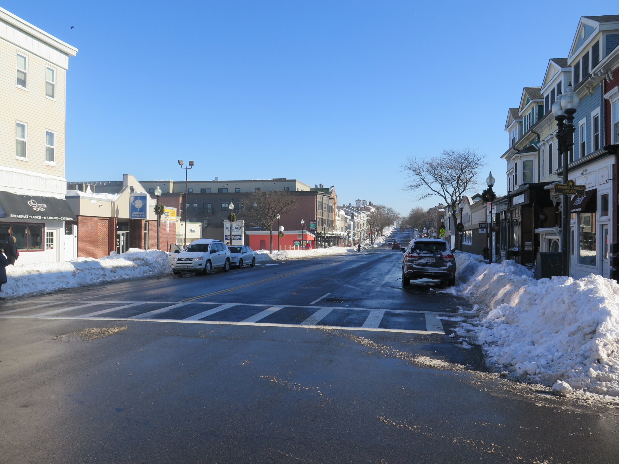
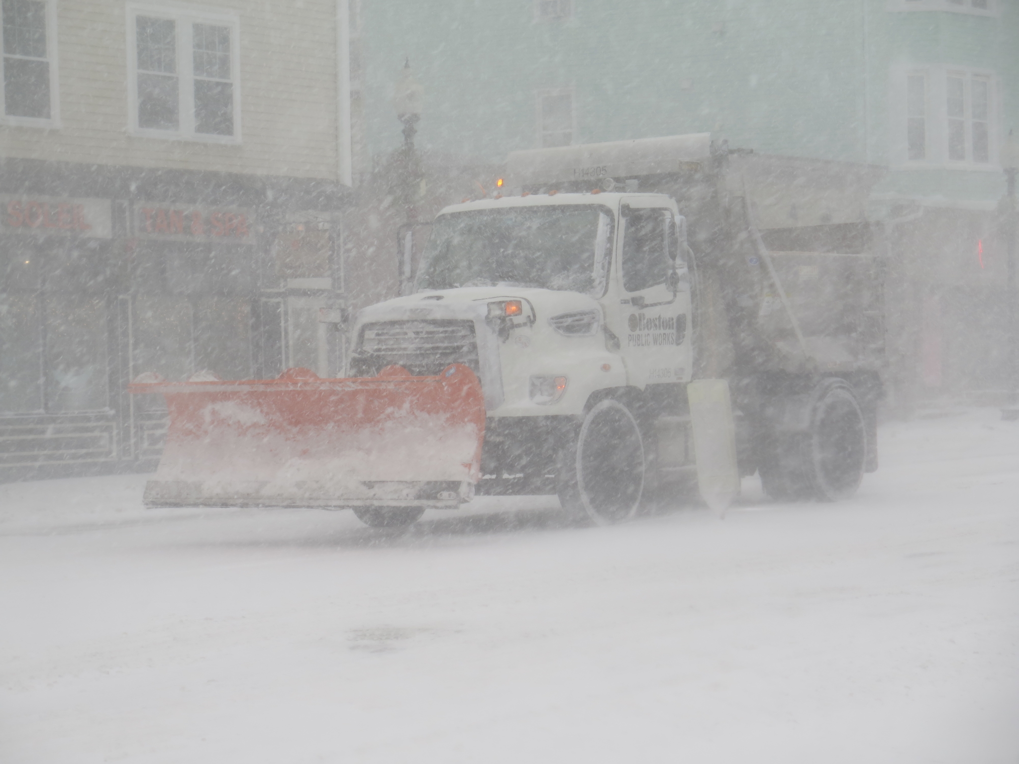
By itself, the actual snowfall was not that serious. The weather reports we checked varied a little, but the consensus was that 13 inches of fairly fluffy snow fell on the City of Boston. This snowfall was not only rapid – causing whiteout conditions – but also, the snow was blown into drifts by the northeast wind. Even so, the streets were mostly clear by Friday’s daytime hours, and as of this writing, South Boston’s “reserved parking space” doctrine has run past its 48-hour time limit. Traffic flows fairly well.
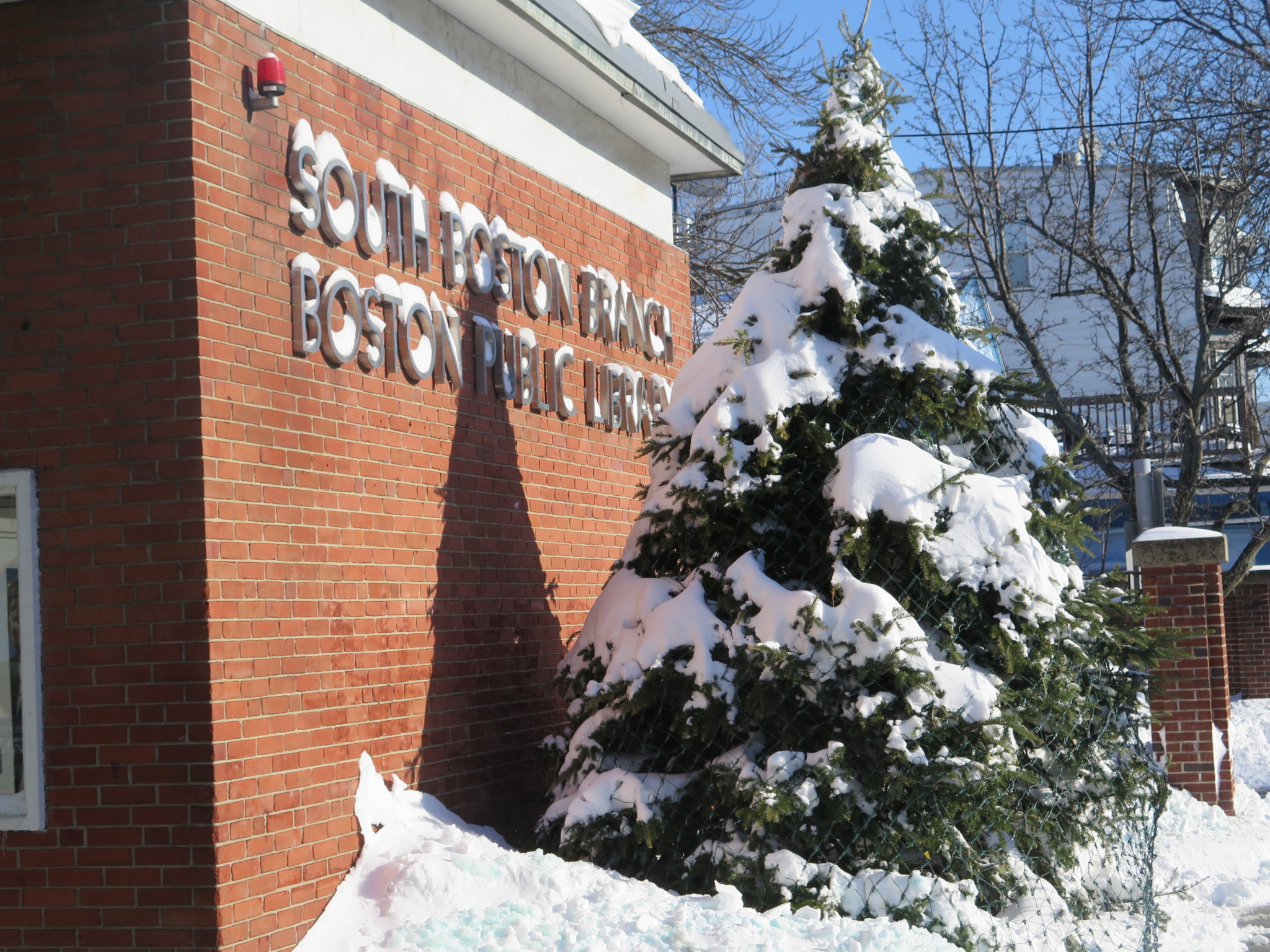
The benchmarks for truly massive snowfalls in Boston are the Storm of ’78 and the late January/February total in 2015. Boston received nearly 30 inches of heavy snow in ’78; most will recall the snowfall record of some 100+ inches set in the winter of 2014/2015. The City of Boston crews did a good job of removing last weekend’s 13 inches of snow. However, 13 inches really wasn’t all that much. And as an aside, the schools and the library closed; the package stores stayed open. Go figure.
The next factor was the record low, frigid weather that followed the snowstorm closely. This was due to some high-jinks by the Circumpolar current, global warming (believe it or not), and last weekend’s northeaster. This may become more common in the future, so listen for it in future winter storm forecasts. Warning systems for schoolchildren and Boston’s visitors from elsewhere may become necessary, similar to Montreal.
Finally, we come to the tidal flooding during last week’s storm, which set a new record also. But this record was about an inch higher than the previous record set in the Blizzard of ‘78 – just 40 years ago. Why wasn’t the baseline for construction of the Seaport area set a foot (12 inches) higher, based upon the ’78 actual experience? Now, the City has begun talking about needing seawalls to protect the investment in the Seaport, all of which is located in South Boston.
