
by Rick Winterson
For the past few years, a project entitled “Dorchester Bay City” (DBC) has been in the works – from initial exploratory discussions to the formation of development/construction organizations, and recently followed by the first property usage plans and proposed building designs. Briefly, the DBC development agent is Accordia Partners, LLC; the DBC area is just over 35 acres. Initial proposals (all of them still under review) amount to more than six million square feet and the total DBC project cost will be several billion dollars, particularly if much of the space is devoted to life sciences – a very fast-growing (but costly) Boston industry.
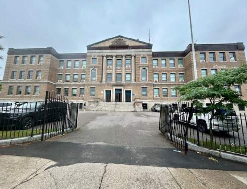
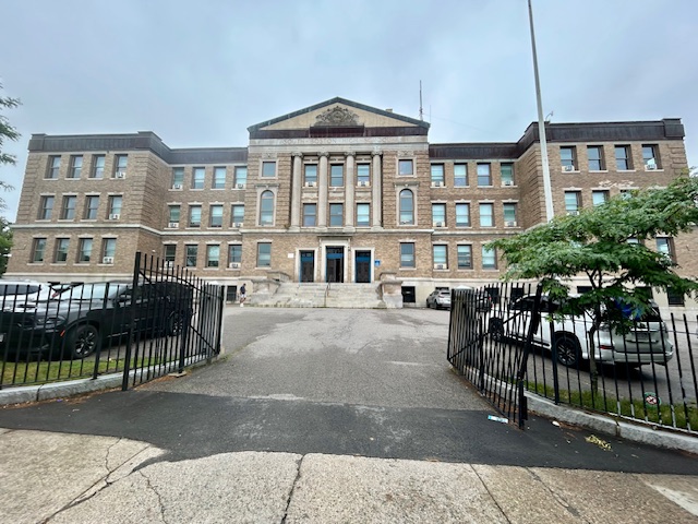
Make no mistake, DBC is a massive project entirely located within the district we call “Columbia Point”. The “Point” includes UMass Boston, the Columbia Point residences, the Boston Teachers’ Union (the BTU), the original Bayside EXPO Center property, and a 12-acre area at the intersection of Morrissey Boulevard and Mt. Vernon Street. But clearly, even though the DBC project is entirely within Dorchester, its size will affect South Boston – especially Moakley Park, the southern end of Carson Beach, the “T” Red Line, and roadways including Columbia Road, Day Boulevard, and South Boston’s favorite traffic rotary, Kosciusko Circle.
Virtual community meetings, guided by the BPDA (the Boston Planning & Development Agency), were held last fall. These meetings were mostly informational – i.e., no decisions or approvals regarding DBC were made. Four more virtual meetings (via ZOOM) about DBC have been scheduled for 2022: an already held meeting on January 10, a January 20 meeting this evening at 6 p.m., a meeting at 6 p.m. on January 31, and a final meeting at 6 p.m. on February 17. The January 10 meeting presented DBC’s initial plans on the project’s “Transportation, Infrastructure, and Resiliency”; tonight’s meeting covers DBC’s proposed “Housing and Economic Development”. The last two meetings will be focused on “Public Improvements” and “Urban Design/Open Space”. All of these meetings are open to the public.
In the “Transportation” portion of the January 10 meeting, a prior plan called the “Columbia Point Master Plan” was the basis for a new, much more detailed plan called “Dorchester Bay City 2024-2040”. The new plan was not only more detailed, but also included the nearby shoreline as part of the overall development. An organization with eight City and State agencies is to be formed and entitled the “Transportation/Infrastructure Working Group”. Its purposes include confirming land use and transportation assumptions, reviewing study approaches, and brainstorming. As an example, the “T” Red Line will receive all new cars and a redesigned JFK/UMass Station to handle much larger commuter peak loads. Many of the anticipated “Transportation” issues will be resolved by modifications and improvements to the DBC “Infrastructure”, such as bicycle paths, wider sidewalkws, and open spaces leading onto the shoreline.
The topic of “Resiliency” is a key issue in any large development these days. Here in Boston, and certainly on Columbia Point, sea level rise caused by global warming has become a long-term threat. Input from the Resiliency Working Group – formed by six City and State agencies – has led to DBC agreeing to construct a “flood protection ridge” that is 22.7 feet high and raising streets in DBC a corresponding amount. And the demolition of the huge Bayside EXPO parking area will allow for much better storm water runoff control.
We suggest that you yourself become more familiar with the DBC project. According to Aisling Kerr, the BPDA’s representative to the DBC project, the BPDA has a complete Dorchester Bay City project webpage. Their webpage will have videos of all four the ongoing public meetings, and already features the January 10 meeting we have quoted. Tonight’s meeting on “Housing and Economic Development” to be posted on or before this weekend. View all four of these and make your opinions known.


