Police seize illegal drugs in South Boston
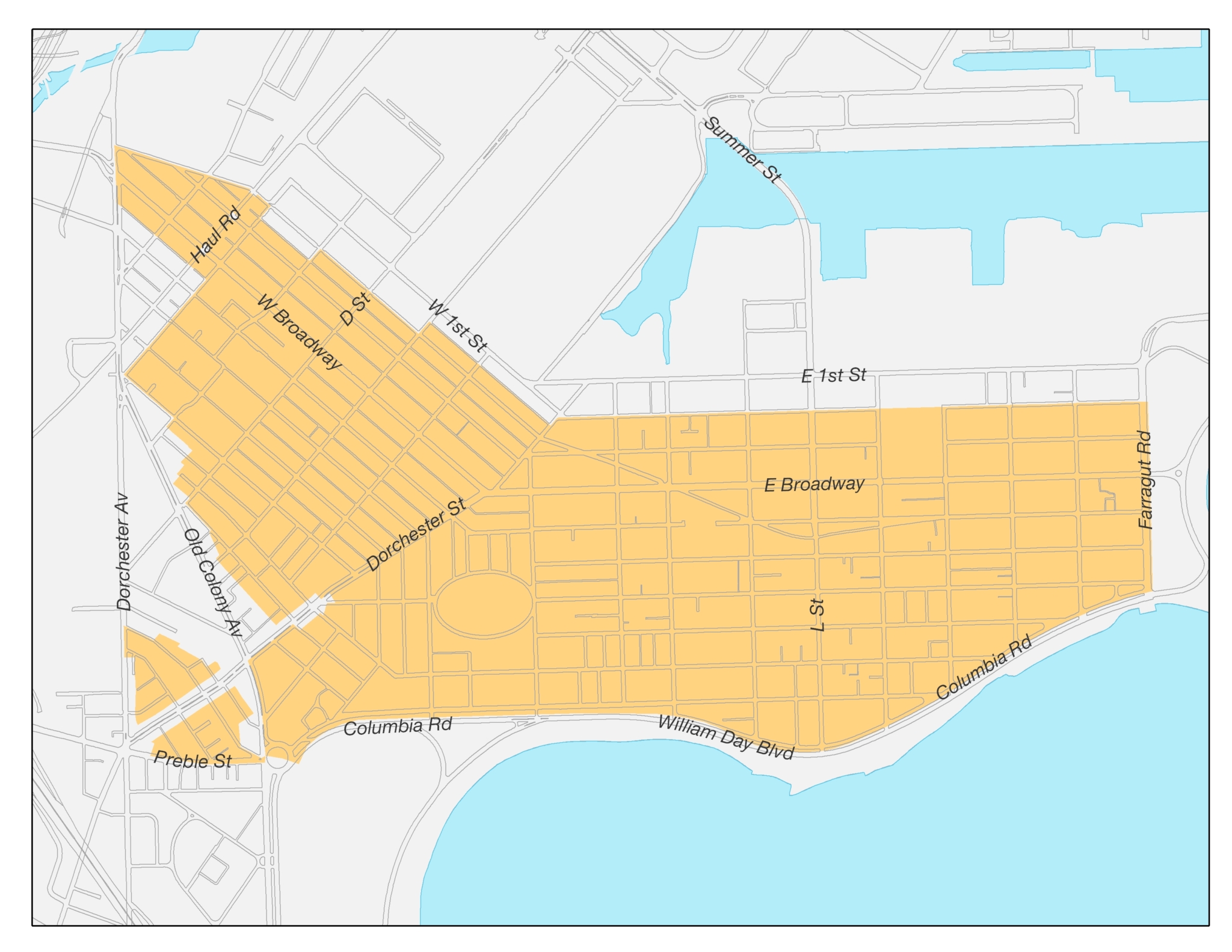
Boston police on Monday made several arrests and seized “significant amounts of various illegal drugs including heroin and crack cocaine,” according to a statement from the Boston Police Department. The Neighborhood Drug Control Unit in District C-6 (South Boston), executed search warrants Monday, which led to the arrests of Tahkeese Brown, 44, of Boston, Khalea Morrison, 24, of Boston, and Latoya Bradley, 31, of Boston. Brown was charged with the traffficking of a Class A drug. According to the BPD statement, the search warrant executed at 433 Old Colony Avenue led to the recovery of 600 bags of heroin (Class A drug) and over $1,000 in cash. Morrison was charged with possession with intent to distribute Class B drugs (Cocaine) and the unlawful possession of [...]

